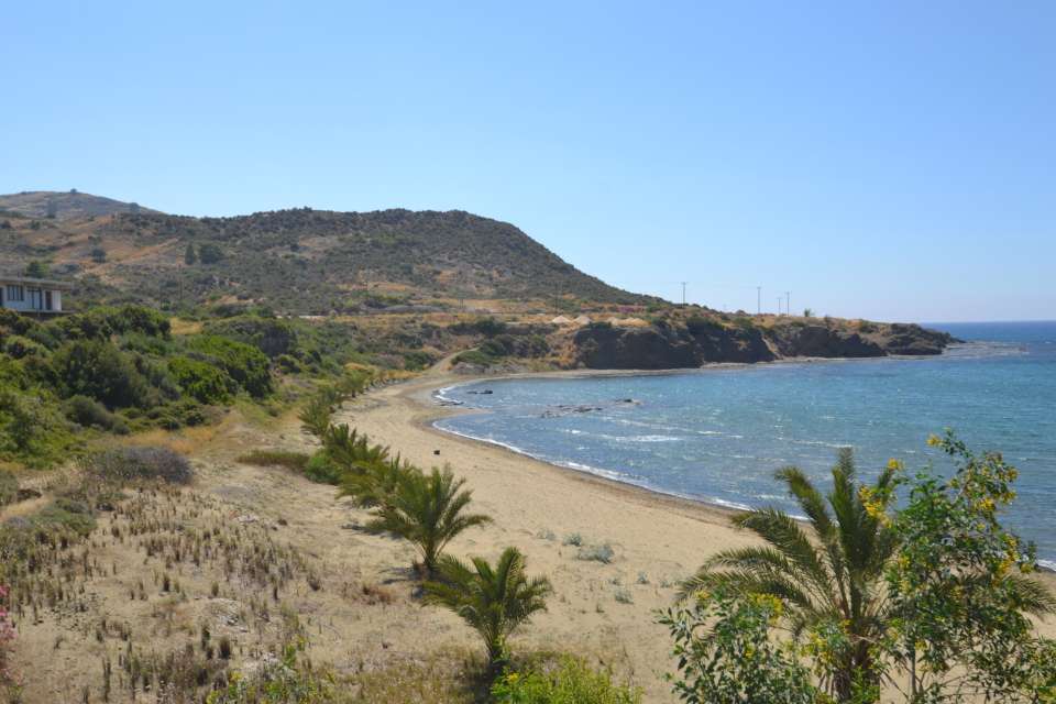
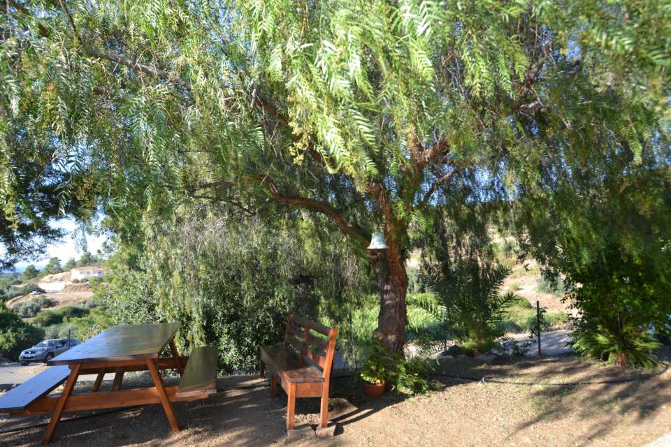
| Pyrgos Tyllirias is a village offering magical scenery which combines both the freshness of the mountain and the beauty of the sea. The village is built on a narrow and fertile plain in between the mountain and the blue sea of the Morphou bay. In fact, it would not be an exaggeration to say that it is one of the few villages of Cyprus which have managed to maintain their natural beauty.
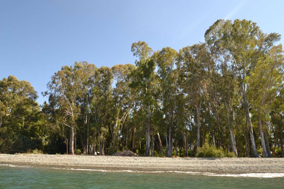
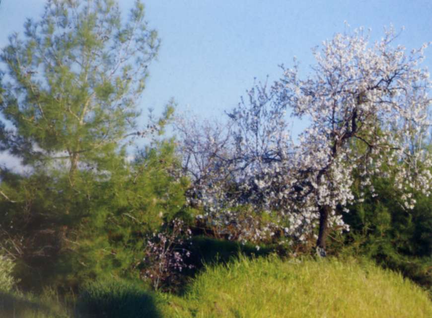
The hills of the village are covered by a green veil deriving from the colour of the pines and mingling with the plantations of the plain, the peach and the lemon trees, until they reach the crystal beach with the small sandy bays. The beach is approximately 3 km long and it constitutes an ideal holiday destination. The most well-known beaches of Pyrgos are: “The Omega”, “Apothikes” and “Kryoneri”. The naming of the first beach is linked to the shape of the Greek letter Ω (Omega) which is formed as the beach stretches towards the sea. The second beach, known as “Apothikes”, owes its naming to a 1920 building which was used, as of 1927, as a warehouse (Apothiki in Greek) where farming products were stored. The last beach, “Kryoneri” (Coldwater), is linked to the artesian water which flows by the area and falls into the sea.
The beauty of Kato Pyrgos Tyllirias is completed by the three rivers which cross the village:
-
The River “Flegias”, which was later renamed into “Flevas”, springs from the heights of Stavros Tis Psokas – Pafos Forest -, the location “Seladi Skotomenou” and “Seladi Finouklis”, the location “Appidi” and the former Turkish-Cypriot village “Vrodissia”. During the summer months, the river flows over the location “Flegia” and is enriched by it to end up in Kato Pyrgos, at the location “Dasos”, and from there on the water falls into the sea. At the same time, this river enriches the underground water reserves of Kato Pyrgos, from which water is pumped using drillings to cover the irrigational needs of the area during the summer period.
-
“Potamoudi” (Littleriver)isthesecondriverofKatoPyrgosanditsnamingislinkedtobothitsshortlengthandwidth. The river springs from Pano Pyrgos and in particular from the location “Partazis” of the Pafos Forest. It crosses the villages of Pano Pyrgos and Kato Pyrgos and falls at the location “Choletres”. The river enriches, up to a point, the underground water reserves from which water in pumped using drillings to cater for the irrigational needs of the fields.
-
The other river of Pyrgos Tyllirias is River “Katouris”. It is a river floating towards the sea like a torrent even when the rain is not so heavy. It springs from the location “Hontros” of the Pafos Forest and crosses the location “Mesolaona” where it supplies the water dam of Tylliria with water. After the dam is full, the remaining water along with the water from the stream of “Vournon” flows towards the village of Kato Pyrgos and ends up in the sea at the location “Kamilarkon”. This river also enriches the underground water reserves from which water is pumped for irrigational purposes through drillings. The irrigation sector “Katouris”- Kato Pyrgos, along with the water dam, operate as a closed irrigation circuit to cover the needs of the fields in the area of Tylliria.
Source:
Community Council
|